Know your holiday destination much as possible
To know your holiday destination in advance much as possible does provide many benefits, it can eliminate the loss of your valuable time, loss of resources, and loss of the holiday expectations that you may have had before departing on a memorable exotic location holiday of a lifetime.
Services available
The available Services can make of break a holiday, not only if one has false expectations in their thinking. E.g. a guest visitor projecting the standard services available at a modern city with many conveniences of their own hometown to a remote Nordic Arctic location. Alternative it can also backfire in the reverse, having expectations of a quiet remote snow-covered Arctic backcountry locations to the noisy racket of screaming snowmobiles and yelping dog sleighs. This is one of the many key reasons why Arctic Suomi Directory website has been established to provide important information on the Arctic Finland from the customers perspective.
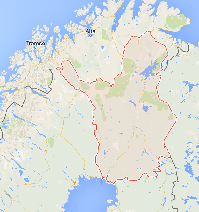
Locations presented
The broad range of potential holiday locations of the Arctic Finland presented here at this Directory, covers potential holiday destinations from the South Lapland to the North Lapland, and from the far East to West Finland.
- Rovaniemi City
- Saariselkä Township
- Inari Lake district
- Äkäslompolo Township
- Ylläs Tundra Mountain Ski Resorts
- Levi Ski Resort town
- Pallas Tundra Wilderness reserve
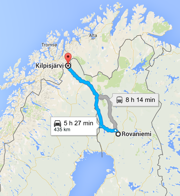
- Kilpisjärvi mountain plateau lake town
- Norway is a very close distance away from the Kilpisjärvi township.
- Sweden shares the West border of Finland.
Rovaniemi
Coordinates: 66°30′N 025°44′E.
Rovaniemi is 811 kilometers North of Helsinki, via E75.
Is the administrative capital and commercial centre of Finland’s northernmost province, Lapland. It is situated about 10 kilometres (6 miles) south of the Arctic Circle
Pop: 61,329
Saariselkä.
(Island ridge).
Coordinates: 68°25.25′N 27°25.03′E.
Saariselkä Township is 300 meters above Sea level. It is 260 kilometers North of Rovaniemi.
Saariselkä is a part of the municipality of Inari, which has some 7,700 inhabitants (including some 2,200 Sámi) on 17,321 square kilometers of land.
Saariselkä (Northern Sami: Suoločielgi, Island ridge) is a village located in a mountainous area in northern Finland. It is a popular tourist destination, providing activities such as skiing, hiking, and a spa treatments. It is located in Northern Lapland and belongs to the Inari municipality.
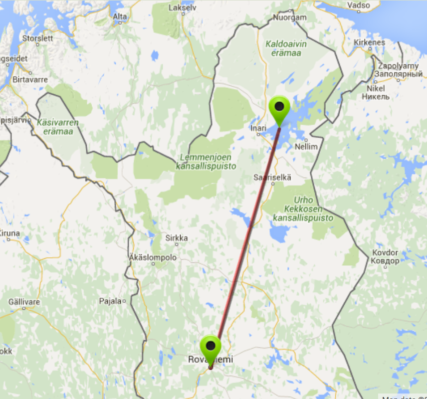
Inari
Coordinates: 68°54′20″N 27°01′40″E.
The township of Inari has a population of over 500 (2011).
The village of Inari was originally established along the water routes running along a swift River named Juutuan River. It ran the water away from many Tundra mountains and hills along the shores of the Lake Inari.
During the many hundreds of years, the Inari village developed into a bustling commercial and marketplace. When the municipality of Inari was founded in 1876, the village became the center of the municipality itself rightly.
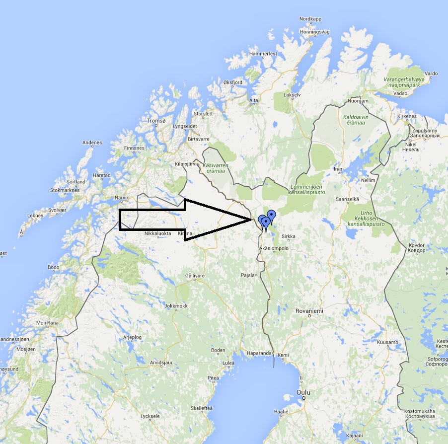
Äkäslompolo.
Coordinates: 67.604311°N 24.155451°E
Located 174 kilometers North West of Rovaniemi.
Äkäslompolo Township is located on the North West side of the high Tundra Mountain named Ylläs (718 meters altitude), and the many facilities and infrastructure that become a well-known ski resort town of Ylläs tundra.
The Ylläs ski area has a vast network total of cross-country ski tracks, covering some 330 km in total, with rest huts, shelters and some fireplaces available. There are also a large number of Alpine ski slopes (61) with 29 ski lifts operating during the peak winter months.
Summer season.
During the summer months, the township of Äkäslompolo is also popular among hikers, anglers, canoeists, and other outdoor enthusiasts, not to mention the wild berry pickers. There are many holiday cottages and homes made available for visitors and guests, and also there are several hotels in the area.
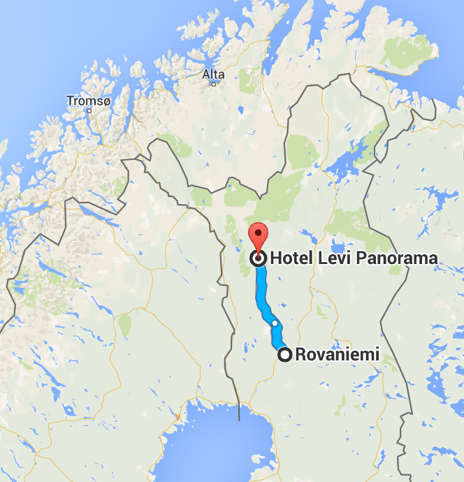
Levi Ski Resort Town.
Coordinates 67.805°N 24.802°E
Levi is 388 kilometers from Rovaniemi.
Levi is a fell located in Finnish Lapland, the Ski Resort Township of Levi has been most developed of all the other ski resort towns of Finland, in the way of accommodations, shops and restaurants, health spas and other recreational activities. But it is not located at the biggest Tundra Mountain of Finland, Ylläs is the biggest Tundra Mountain Ski Resort available in Finland.
Vertical 325 m (1,066 ft)
Top elevation 531 m (1,742 ft)
Base elevation 206 m (676 ft)
The peak of the Levi fell is at an elevation of 531 metres (1,742 ft) above sea level. There are 43 ski slopes (17 of which are floodlit) and 27 ski lifts in Levi. Ascending the Tundra fell mountain are 2 gondolas, 1 chairlift, 14 T-bar lifts, 5 stick lifts, 4 rope tows, and 1 magic carpet for children.
Kilpisjärvi.
Coordinates: 69°02′57″N 20°47′40″E.
Kilpisjärvi (Kilpis-lake) is best-known tourist attractions are the far north winters for skiing, also the “three-country border point” (Sweden, Norway, and Finland), there is a monument at the three border point border of Sweden and Norway, and Finland, it is located at approximately 69°03′36″N 20°32′56″E. Approximately 2.5 kilometers Northwest from the northern end of the Kilpis Lake.
Pallas Tundra Wilderness area.
The Pallas Tundra wilderness area is a remote quiet wilderness area, with only realtively minimal services available, e.g. Alpine skiing, snowboarding, groomed slopes, telemark skiing, back country skiing, cross country skiing, snow shoe walking, etc. Accommodation, restaurant food services, and recreational activity hire services available.
Leave a Reply